Understand
space.
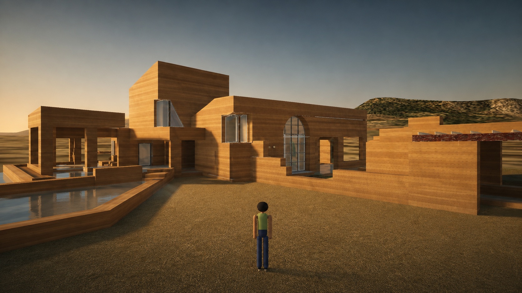
Walk through the architecture at human scale. Check proportions, observe light, measure spaces, before a wall is built.
The live viewer · Mallorca · 39.52 N · 2.87 E
Walk through the architecture at human scale. Check proportions, observe light, measure spaces, before a wall is built.
Not a picture of the space. An understanding of it.
Architectural plans are precise and essential, but abstract. Renders communicate atmosphere beautifully, but encourage idealisation. Vizt occupies a different territory: helping people understand space before it exists.
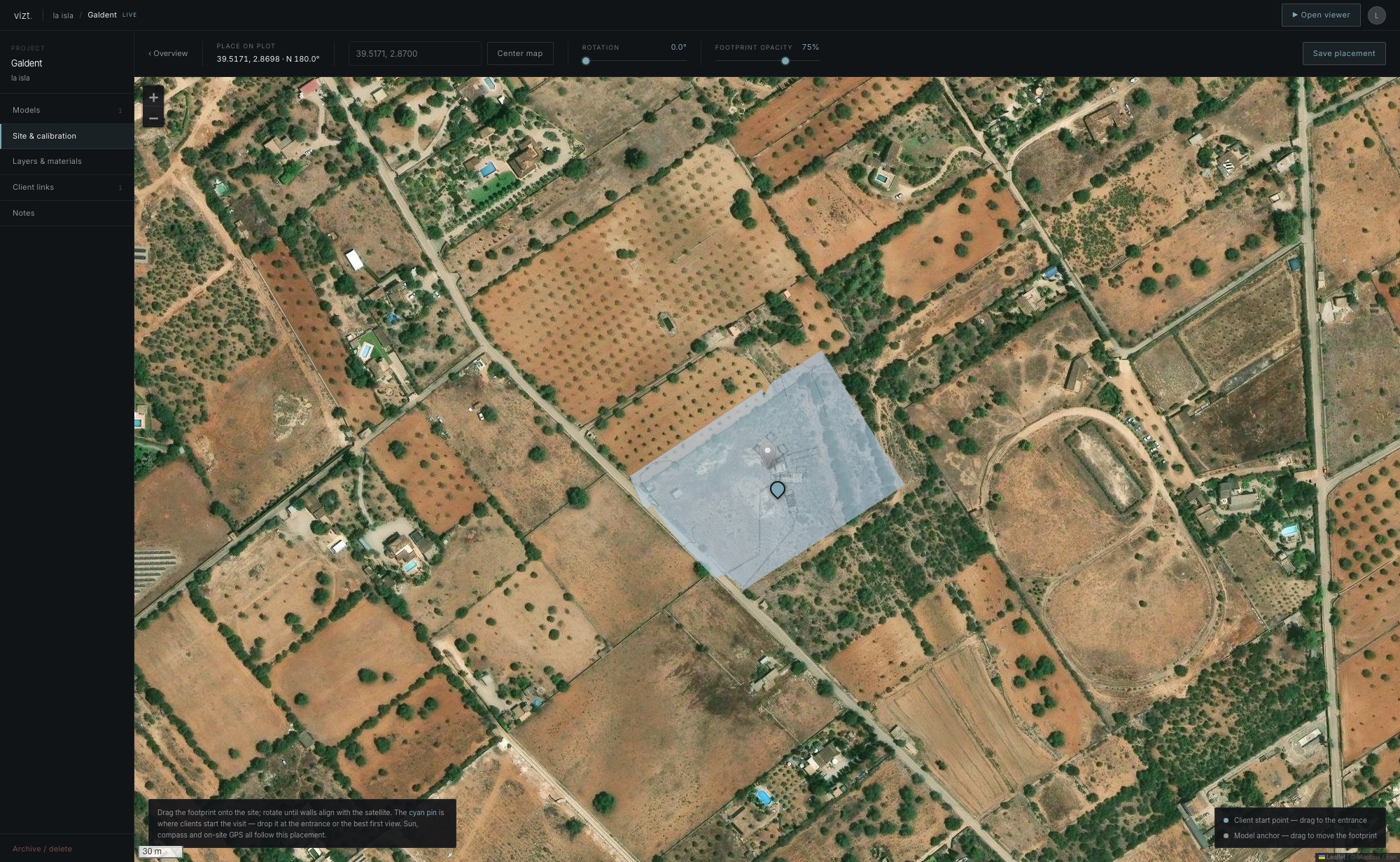
Drag the footprint over the satellite image of the parcel and set north. The model stands where the building will stand, and sun studies, the compass and on-site GPS all inherit this one placement.
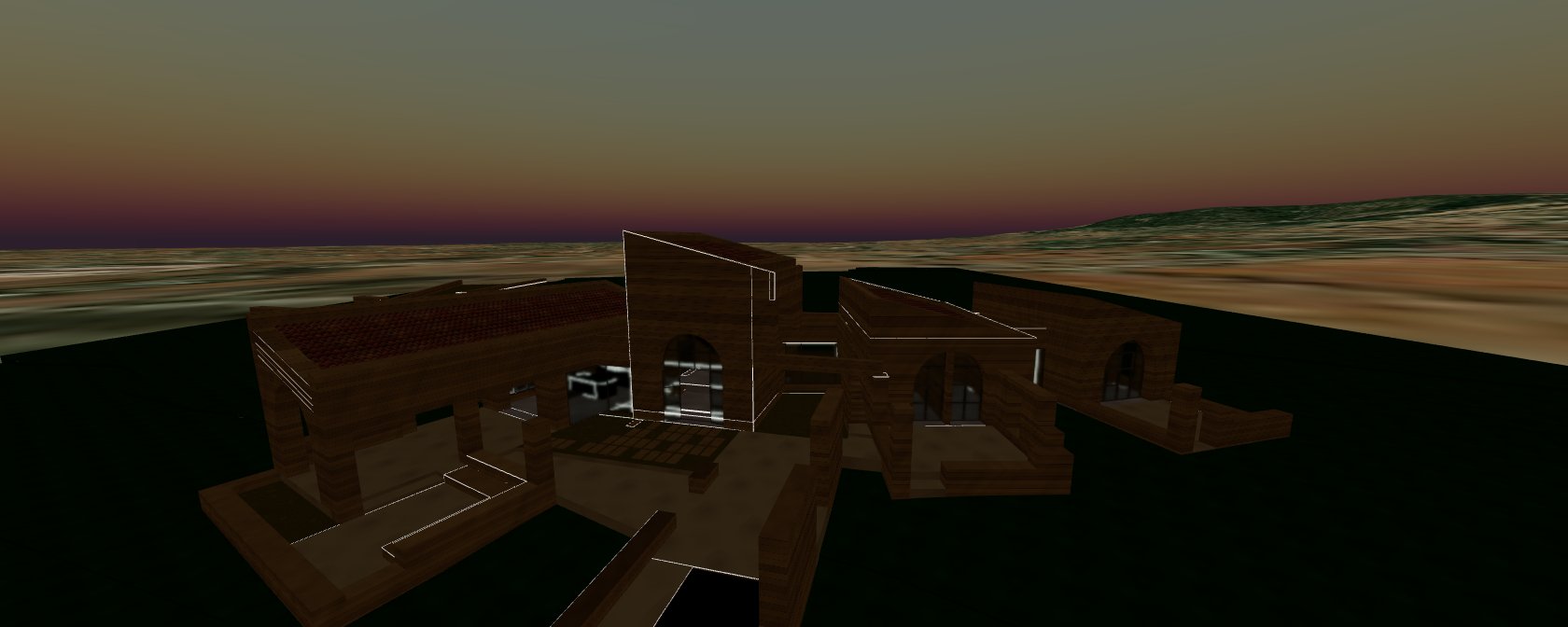
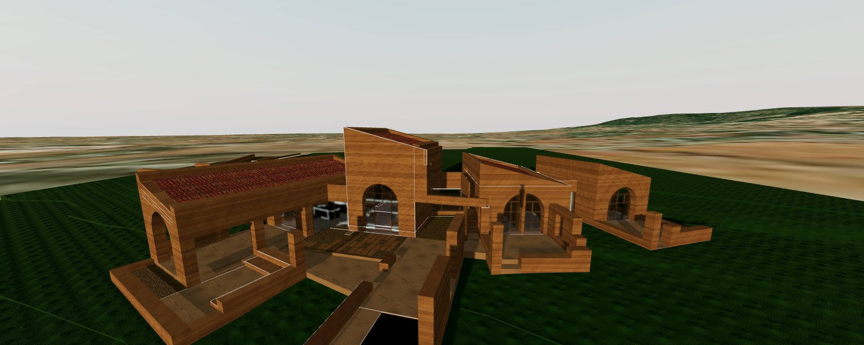
Where does morning light reach? When does the terrace fall into shadow? These frames are the viewer's own renders of one house, hour by hour. The slider moves the real sun.
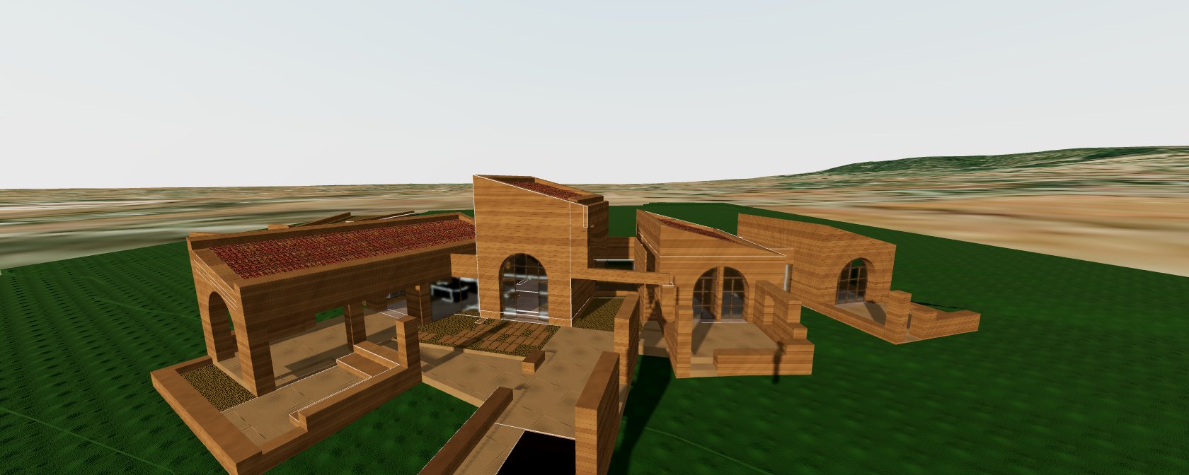
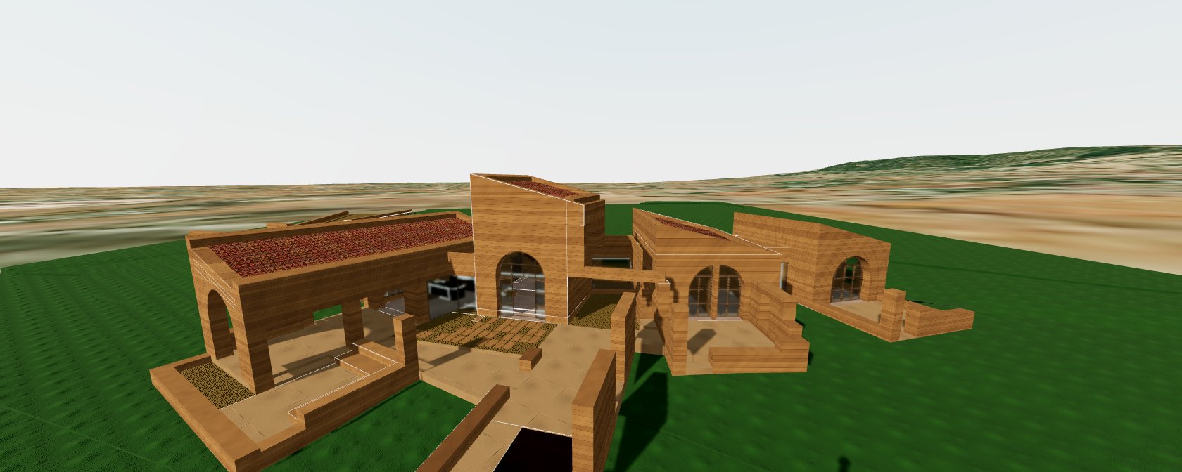
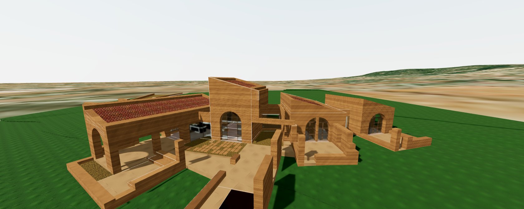
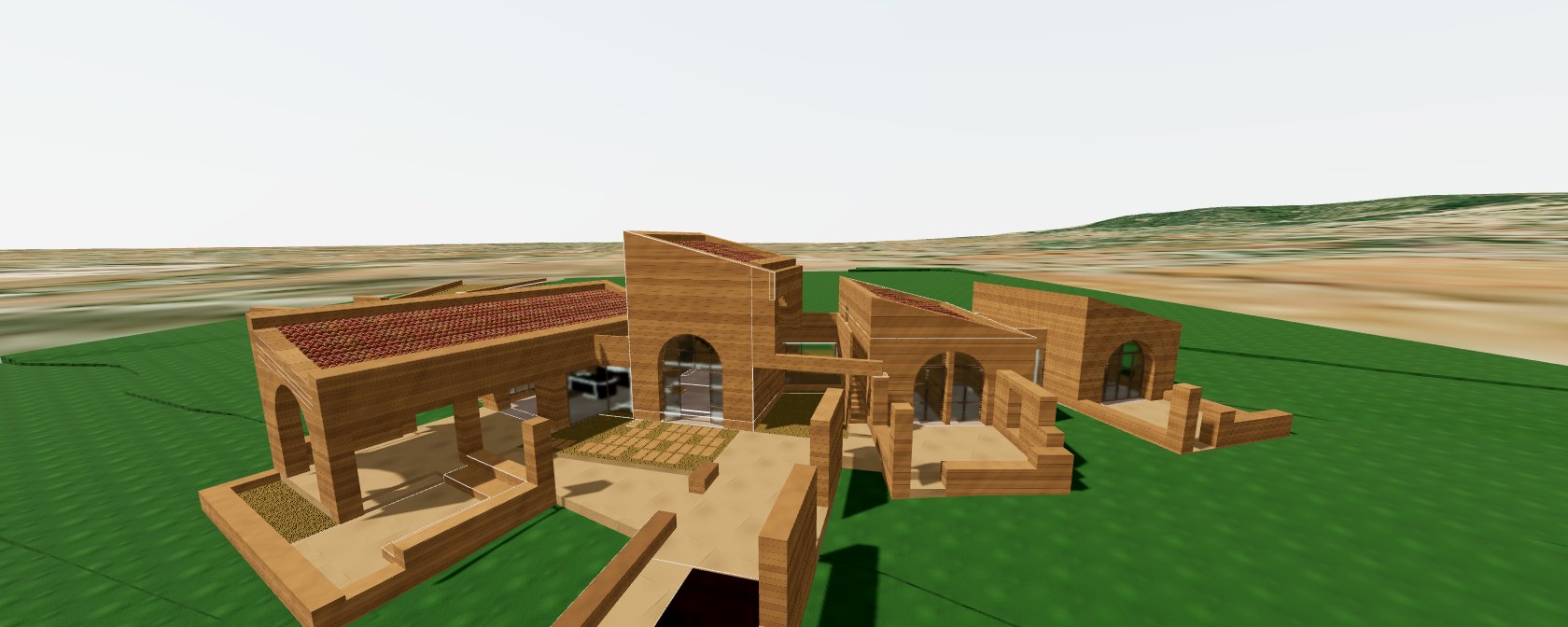
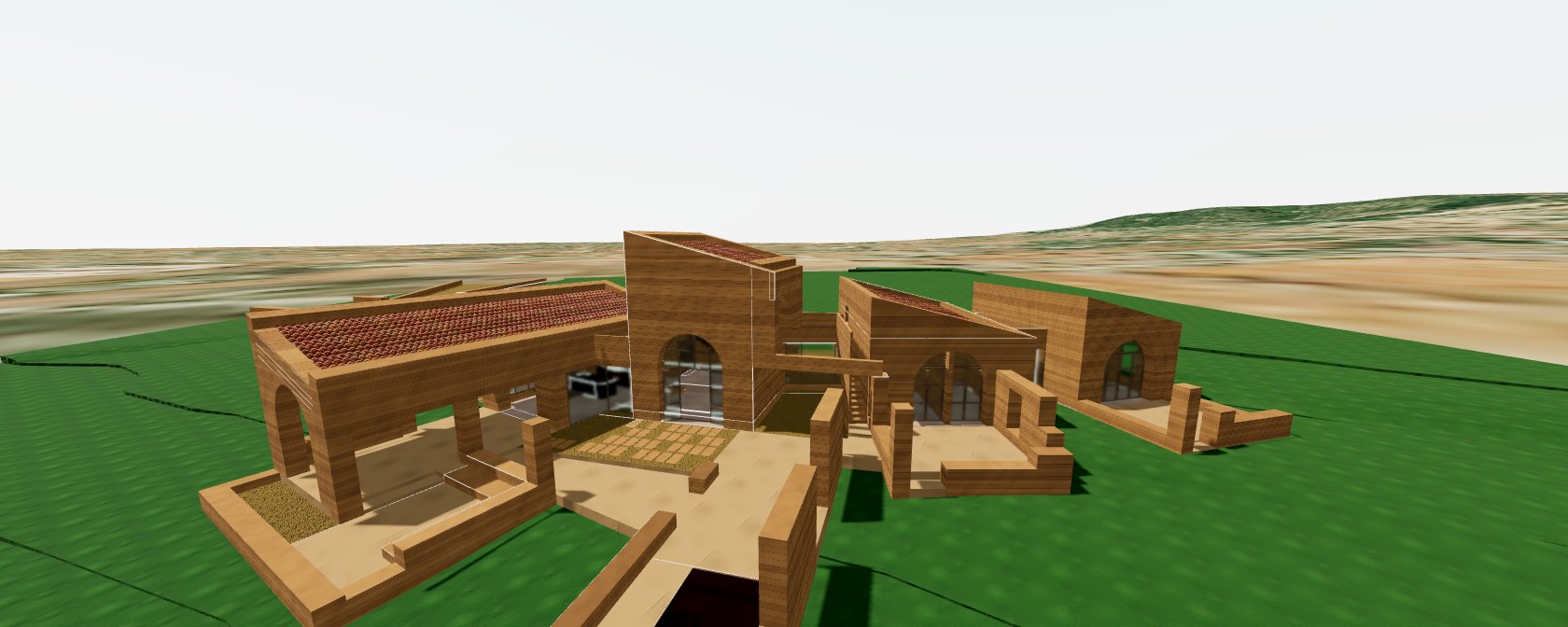
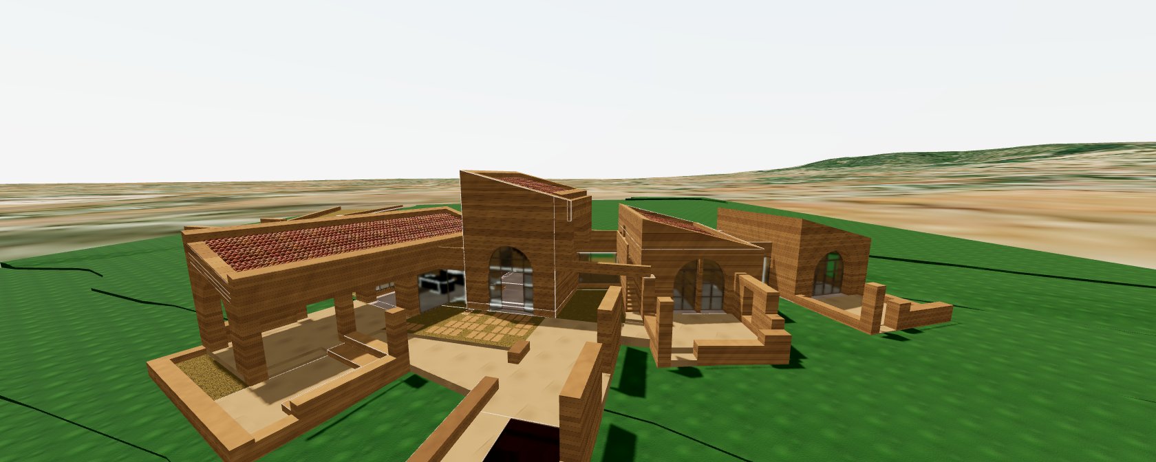
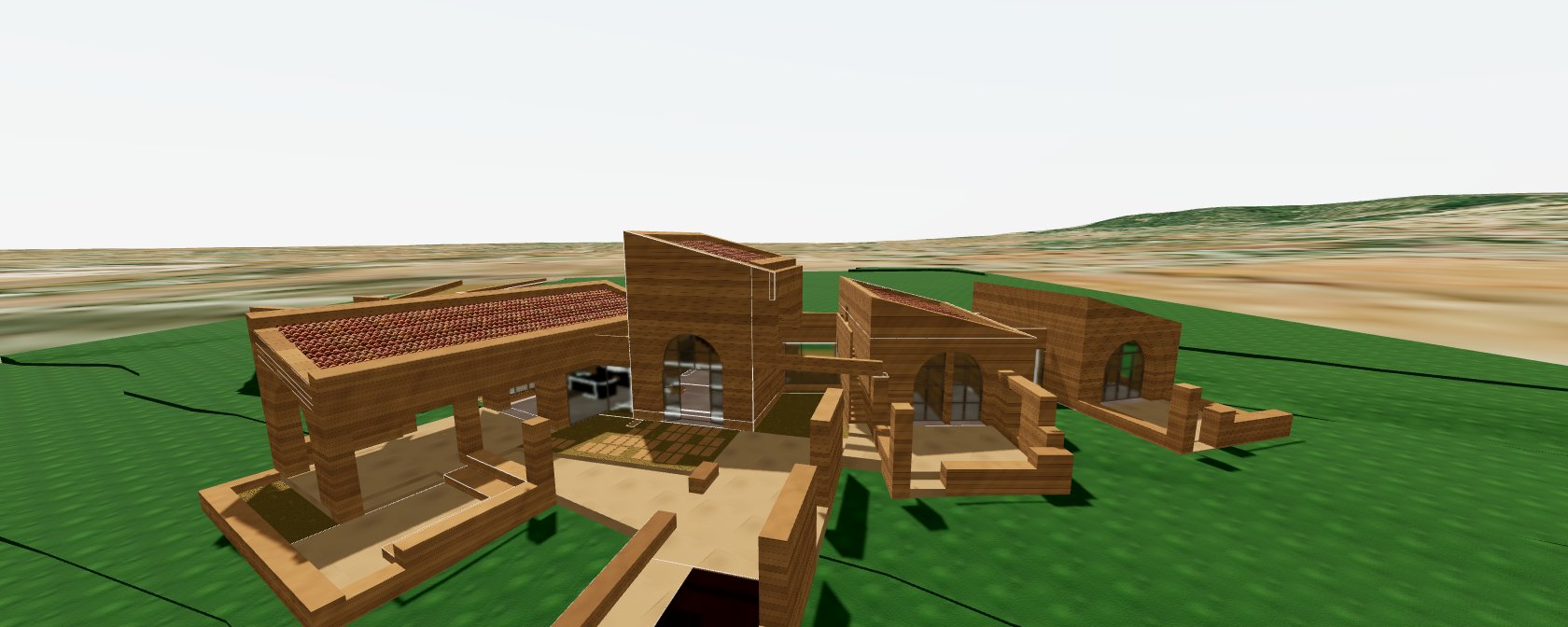
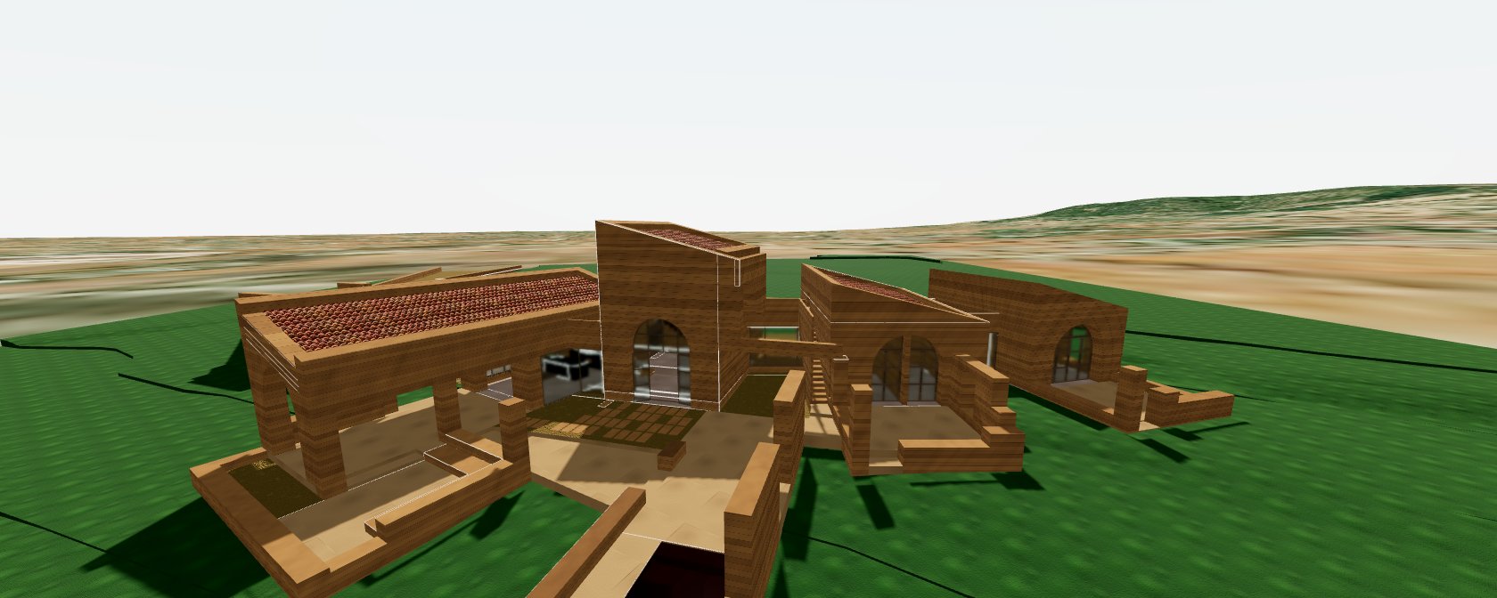
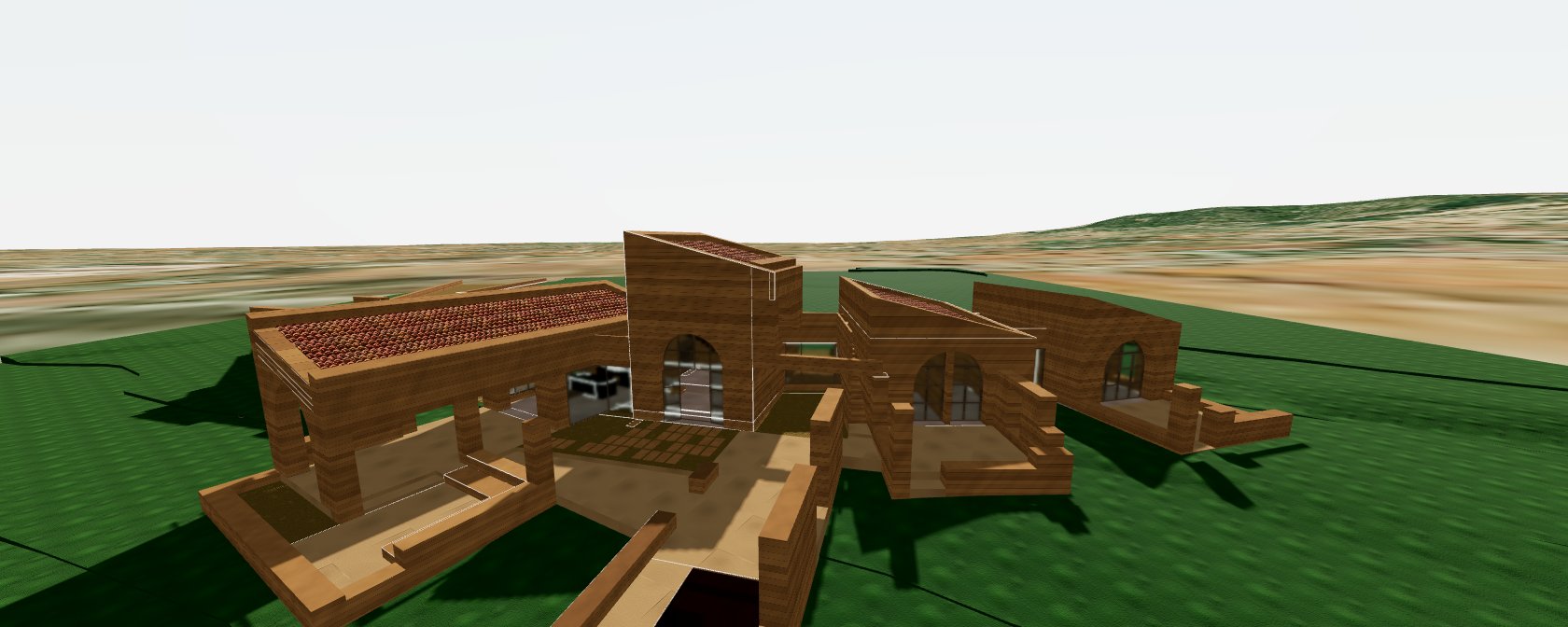
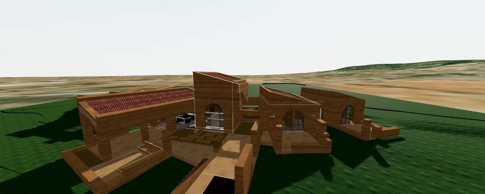
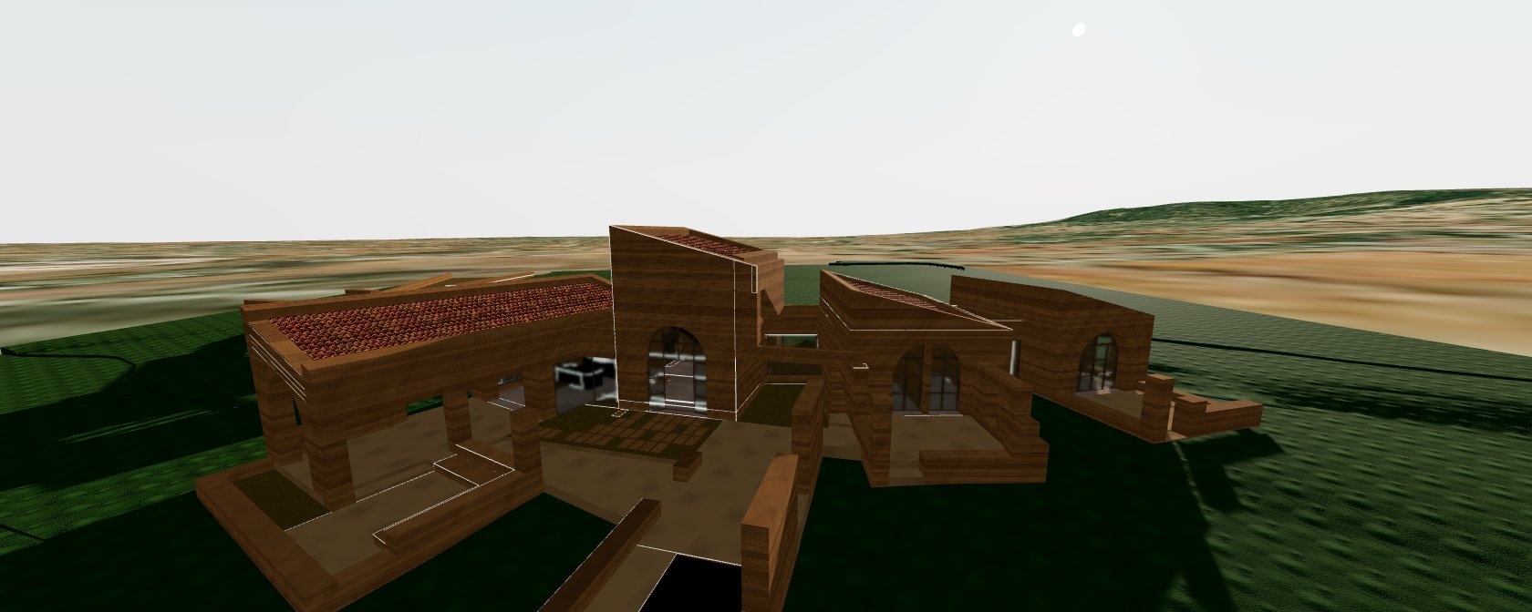
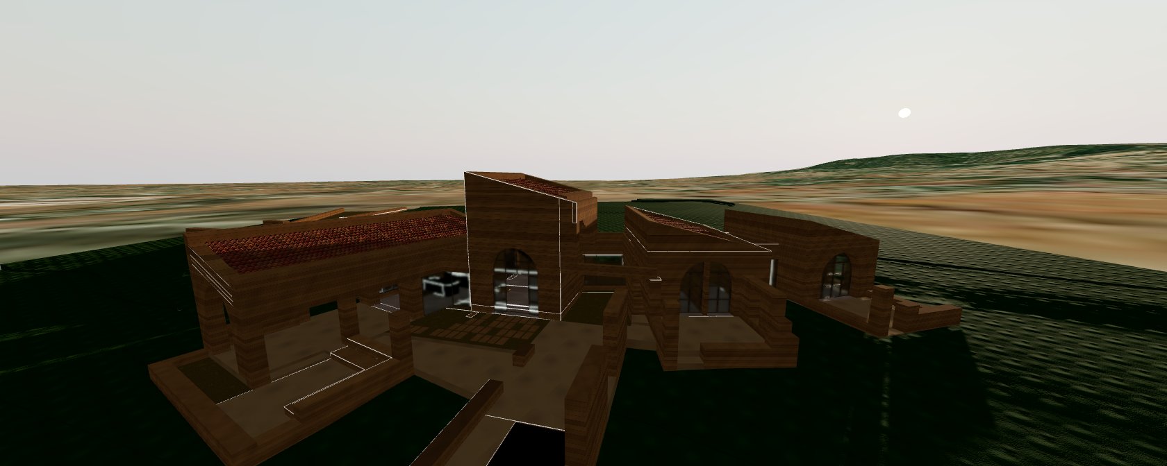
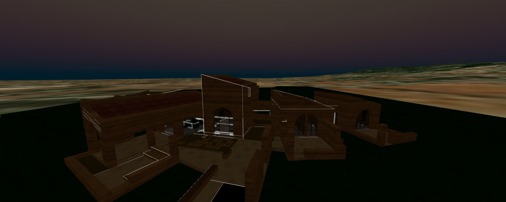 Mallorca · 39.52 N · 2.87 E
Open one link on-site and the model locks to the ground at full size — no app, no headset, no download. Walk every room and find where you'd watch the sunset.
vizt puts your design on its real plot — no more flat renders or foam models, just a walkable space anyone opens in a browser.
Try it on your project ↗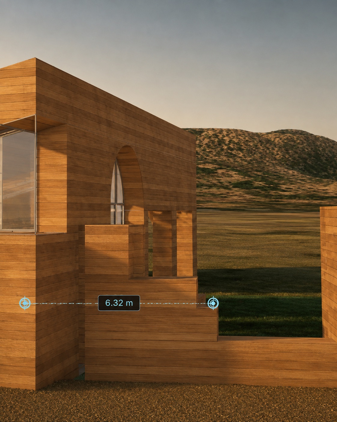
Take measurements inside the model before breaking ground. Corners and edges snap, runs lock straight, and every figure reads in metres.
Your model from Rhino, Revit, Archicad, SketchUp or Blender. Vizt converts and compresses on upload, and reads your layer names to know glass from wall from roof.
Drag the footprint onto the satellite image of the plot and set north. Sun, compass and on-site GPS all follow from this one placement.
Each client gets their own link, with a password and an expiry if you want them. The viewer opens in the browser. No download, no install.
Start with a model. Walk through it. Share it with your client.